TORNADO WARNING FOR TALLADEGA SUPERSPEEDWAY UNTIL 9PM CDT - MORE INFO HERE
Talladega Superspeedway Weather Forecast: Strong to Severe Storms Today
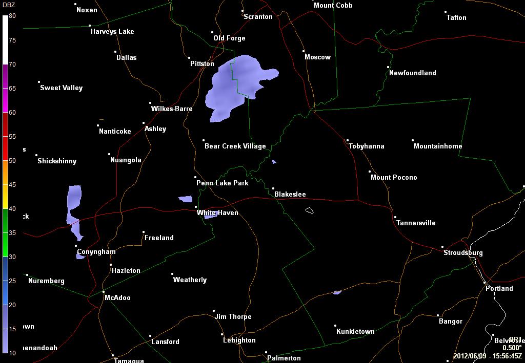 Need to hit refresh to refresh the Radar image...
Conditions in Talladega, AL: Click here for Current Weather Conditions – Look at Doppler Radar | Mobile Friendly Site | Mobile Radar
Tornado watches are now in place for most of Alabama this afternoon and evening. Here is the detail from the National Weather Service:
EFFECTIVE THIS FRIDAY MORNING AND EVENING FROM 1120 AM UNTIL 900 PM CDT.
TORNADOES…HAIL TO 2 INCHES IN DIAMETER…THUNDERSTORM WIND GUSTS TO 70 MPH…AND DANGEROUS LIGHTNING ARE POSSIBLE IN THESE AREAS.
REMEMBER…A TORNADO WATCH MEANS CONDITIONS ARE FAVORABLE FOR TORNADOES AND SEVERE THUNDERSTORMS IN AND CLOSE TO THE WATCH AREA. PERSONS IN THESE AREAS SHOULD BE ON THE LOOKOUT FOR THREATENING WEATHER CONDITIONS AND LISTEN FOR LATER STATEMENTS AND POSSIBLE WARNINGS.
DISCUSSION…CLUSTER OF SUPERCELLS OVER SERN MS/SWRN AL ARE EXPECTED TO MOVE/DEVELOP NEWD ACROSS WW AREA WITHIN A DESTABILIZING BOUNDARY LAYER IN WAKE OF RETREATING WARM FRONT. HERE…THE COMBINATION OF DEW POINTS RISING THROUGH THE 60S AND DIABATIC HEATING IN THE BOUNDARY LAYER WILL YIELD AFTERNOON MLCAPE VALUES INCREASING TO 1000-2000 J/KG. THIS INSTABILITY COUPLED WITH RATHER STRONG LOW-LEVEL SHEAR /I.E. EFFECTIVE SRH VALUES OF 200-400 M2 PER S2/ WILL RESULT IN AN ENVIRONMENT QUITE FAVORABLE FOR SUPERCELLS CAPABLE OF TORNADOES /SOME SIGNIFICANT/…LARGE HAIL APPROACHING 2.0-2.5 INCHES IN DIAMETER AND DAMAGING WIND GUSTS.
A Tornado Watch is issued when conditions are favorable for tornado development. People located in and around the watch area should keep an eye to the sky and listen to their NOAA Weather Radio all hazards or tune to local broadcast media for further weather information. The watch is intended information. The watch is intended to review safety rules.
A Tornado Warning is issued when a developing tornado has been detected by National Weather Service Doppler radar or a reliable report of a tornado has been reported. A Tornado Warning is usually issued for portions of one or two counties… for an hour or less. The storm could also produce large hail and destructive straight line winds. If the Tornado Warning includes your neighborhood or work place… you should seek safe shelter immediately.
I can’t stress enough the seriousness of this situation for this afternoon and evening. I don’t want people to panic I want them to be informed, know what is possible and make decision based on that information. NOW IS THE TIME TO BE THINKING & PLANNING. Do not wait until a warning has been issued for Talladega county to decided where you should go. The worst place to be this afternoon would be at a campsite, in a motor home, a RV or a bus.
Does all of these forecast mean a tornado will occur with every storm that gets close or passes near Talladega or other parts of Alabama, the answer is no. What you are looking at is a scenario in the atmosphere that lends itself to storms developing into very dangerous storms. With large hail possibly 1-2 inches in diameter. Dangerous and destructive winds over 60 mph and of course forming tornadoes. Some concern with these tornadoes is that they could be long lasting. Do not take any warning lightly.
The bulk of the storms are still east of Talladega Superspeedway I expect the main line to be very close between 3 and 5pm but a few isolated strong cells are possible before that.
For more detail please visit my main page http://wx-man.com/NASCAR
I will be tracking the weather and storms through the afternoon and evening. You will get updates from me via Twitter (@NASCAR_WXMAN) Facebook (My Fan Page) and my other main NASCAR WX-Man site. I also have the radar up and running here with the track marked on the map - This Weeks NASCAR Radar.
I also highly recommend bookmarking Alabama Weather Blog.
Friday:
(11:00 a.m. CDT) 12:00 p.m EDT
Nationwide Qualifying – Mostly cloudy, Isolated storms - temp: 72
(1:00 p.m. CDT) 2:00 p.m EDT
Sprint Cup Practice – Mostly cloudy chc. of storms - temp: 76
(2:30 p.m. CDT) 3:30 p.m EDT
Sprint Final Practice – Mostly cloudy chc. of storms - temp: 78
(4:00 p.m. CDT) 5:00 p.m EDT
ARCA Race – Poss strong to severe storms - temp: 77
Saturday:
(10:30 a.m. CDT) 11:30 a.m EDT
Sprint Cup Qualifying – Partly Sunny - temp: 64
(2:00 p.m. CDT) 3:00 p.m EDT
Nationwide Race – Mostly sunny - temp: 70
Sunday:
(12:00 p.m. CDT) 1:00 p.m EDT
Sprint Cup Race – Sunny - temp: 70
Please follow me on Twitter @NASCAR_WXMAN for the latest race weather updates and information. Also visit my main weather page.
See More:


